
Interaktive Touristenkarte von England & Wales: Klicken Sie auf die Symbole und Beschriftungen auf der Karte, um Weblinks zu öffnen.
Nicht nur das großartige London … beeindruckende Landschaften im Lake District und in Cornwall, unzählige Schlösser und die außergewöhnliche Küste von Wales.
England (Vereinigtes Königreich)
Bevölkerung: 55.268.500
Fläche: 130.280 km²
Amtssprache: Englisch
Währung: Pfund Sterling
Fahrspur: Links
Beste Reisezeit: April bis September
Wales (Vereinigtes Königreich)
Bevölkerung: 3.063.700
Fläche: 20.779 km²
Amtssprachen: Englisch, Walisisch
Währung: Pfund Sterling
Fahrspur: Links
Beste Reisezeit: April bis September


WEITERE LINKS
Offizielle Website für England-Tourismus
Offizielle Website für Wales-Tourismus
> Touristenkarte von Schottland
> Touristenkarte von Irland
Discover England and Wales best tourist attractions and top sights through our map! Which are the best places to visit in England and Wales and the best things to do in England and Wales? Simply click on the map’s links to be quickly redirected to images and useful websites for accommodation, activities, transport and much more about UK travel.
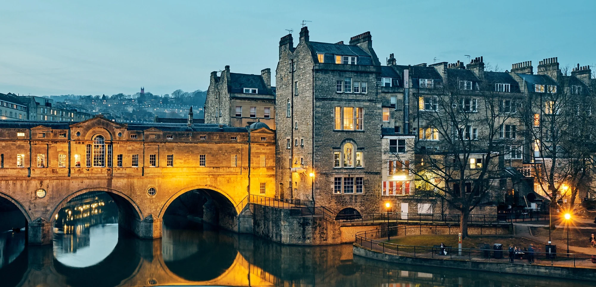
foto © Pedro Szekely/Flickr (Bath)