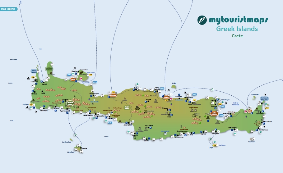
Interactive travel and tourist map of Crete: click on icons and writings on the map to open web links.
The largest Greek island and the fifth largest in the Mediterranean, Crete is renowned for its history, culture, and natural beauty.
Visitors can explore ancient ruins, scenic beaches and mountains, and indulge in the island’s delicious cuisine. The island was home to the Minoan civilization, one of the earliest advanced societies in Europe and has been inhabited for thousands of years. Over the centuries, Crete has been ruled by various empires and became part of Greece in 1913.
The island features a diverse terrain, with high mountains and deep gorges, including the highest peak in Crete, Mount Ida.
Crete plays a significant role in Greece’s economy and culture, while also preserving its unique traditions. The island can be accessed by two airports in Heraklion and Hanìa. The ancient palace of Knossos, a Minoan city, is also located in Iràklio (Heraklion).

Discover Crete’s best tourist attractions and top sights through our map! Which are the best places to visit in Crete? Simply click on the map’s links to be quickly redirected to images and useful websites for accommodation, activities, transport and much more.
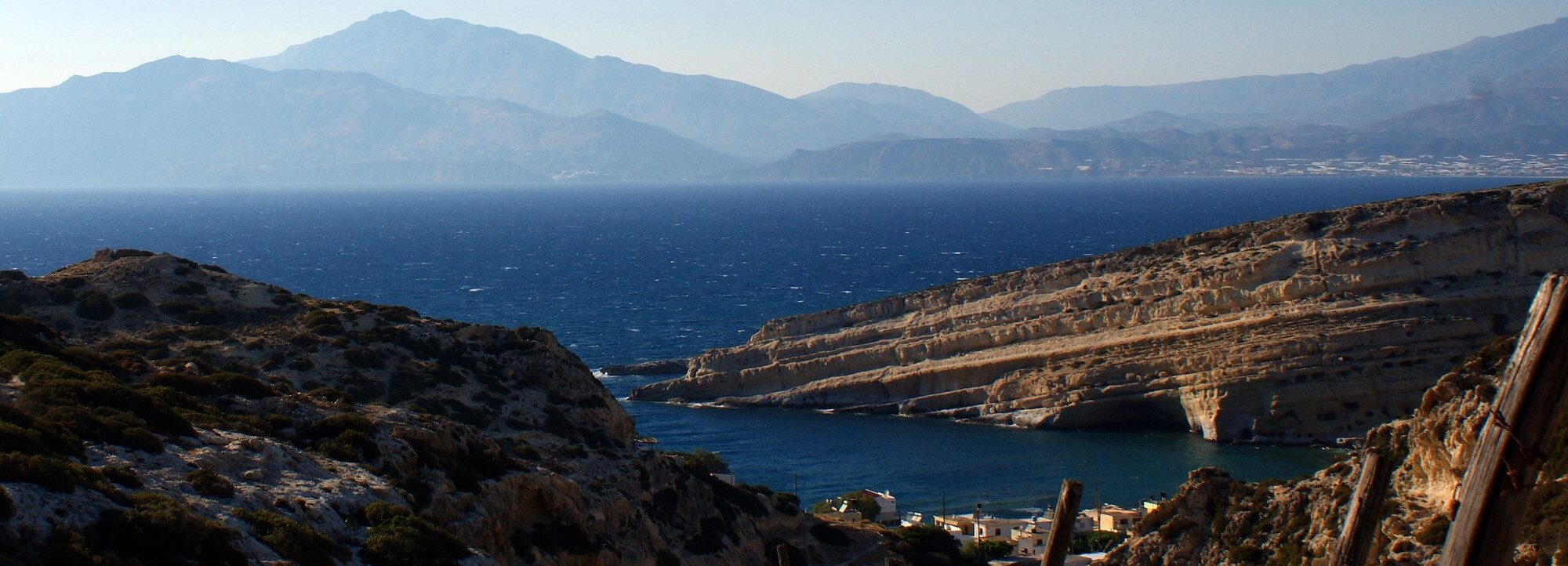
photo © Olivier Duquesne / Flickr – Matala

