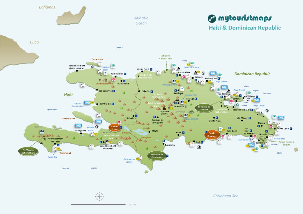
Interactive travel and tourist map of Haiti and Dominican Republic: click on icons and writings on the map to open web links.
Haiti and the Dominican Republic share Hispaniola Island… while the Dominican Republic has a good quality of life and tourism is well developed, unlucky Haiti is always battered by natural disasters such as hurricanes and earthquakes. Both countries have typical Caribbean striking landscapes with tranquil sandy beaches and even mountains and wonderful waterfalls.
Haiti
Population: 10.605.000
Area: 27.750 sq.km
Official Languages: French, Haitian Creole
Currency: Haitian Gourde
Drivers Lane: Right
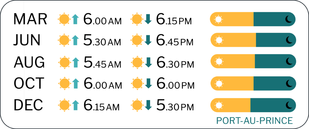
When to go: from December to March
Dominican Republic
Population: 9.980.000
Area: 48.442 sq.km
Official Language: Spanish
Currency: Peso
Drivers Lane: Right
When to go: from December to March


FURTHER LINKS
Haiti
Pic Macaya National Park
Dominican Republic
Jaragua National Park
El Salto del Limon
Discover Haiti and Dominican Republic’s best attractions and top sights through our map! Which are the best places to visit in Haiti and Dominican Republic and the best things to do in Haiti and Dominican Republic? Simply click on the map’s links to be quickly redirected to images and useful websites for accommodation, activities, transport and much more.
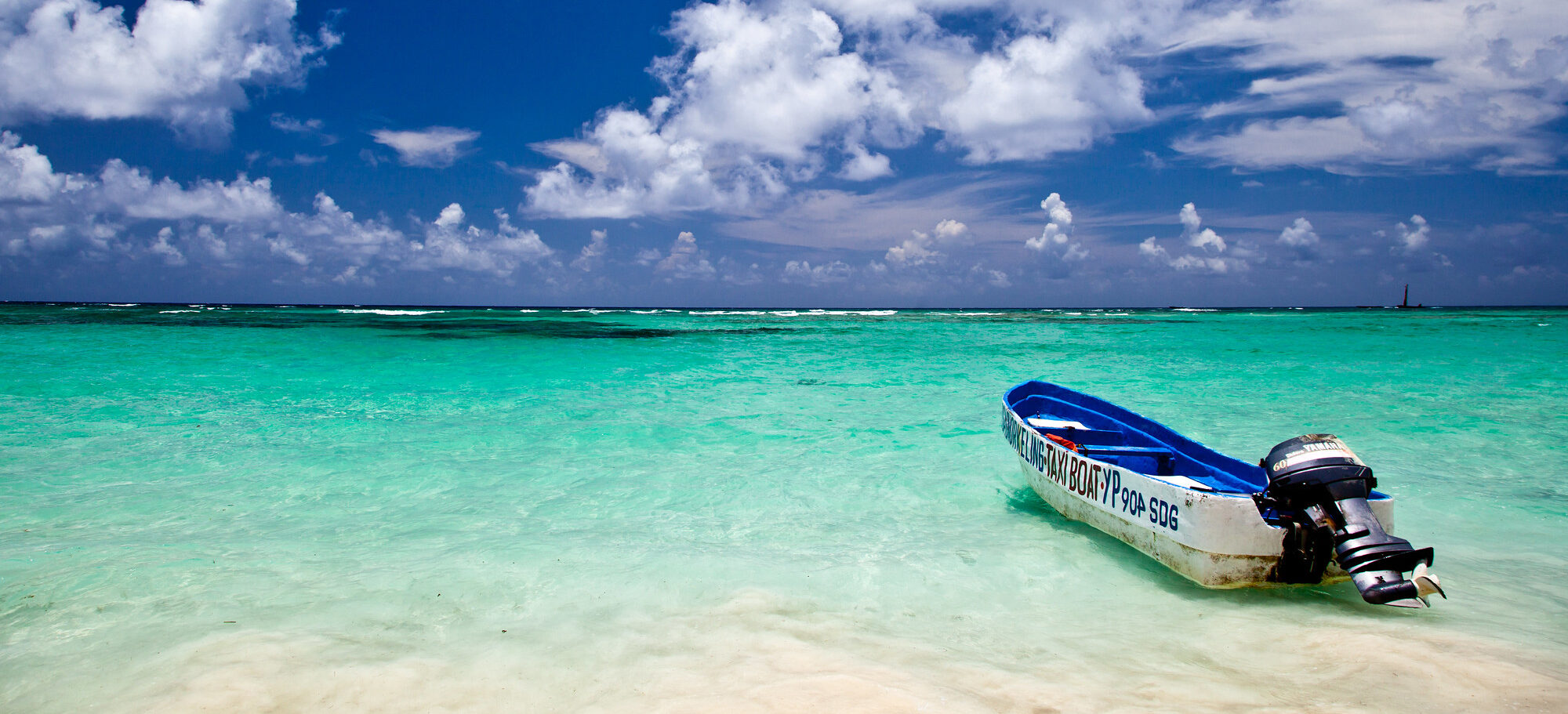
photo © Ben Kucinski /Flickr (Punta Cana)

