
Interactive travel and tourist map of France: click on icons and writings on the map to open web links.
A beautiful coastline enclosed between the rugged Pyrenees and the French Alps: here you can find white beaches, islands and some of the best ski areas in Europe.
The Dordogne’s castles, the dunes of the Atlantic coast, Europe’s best surf spots of the Basque Country, the volcanoes and the gorges of the Massif Central and the Corsica island, a kind of France in miniature with its gorges, mountains, beaches and wonderful villages, make this part of the country one of the most heterogeneous areas in the world.
France
Population: 66.990.000
Area: 643.800 sq.km
Official Language: French
Currency: €uro
Drivers Lane: Right
When to go: all year


FURTHER LINKS
Domme – Beautiful town in Dordogne
French Vineyards Map
> Tourist map of Northern France
Discover France’s best tourist attractions and top sights through our map! Which are the best places to visit in France and the best things to do in France? Simply click on the map’s links to be quickly redirected to images and useful websites for accommodation, activities, transport and much more about France travel.
Are you interested in making your visit to France more than just a vacation or considering a move? Check out available jobs abroad with relocation packages at https://jooble.org/jobs-relocation-package/Abroad.
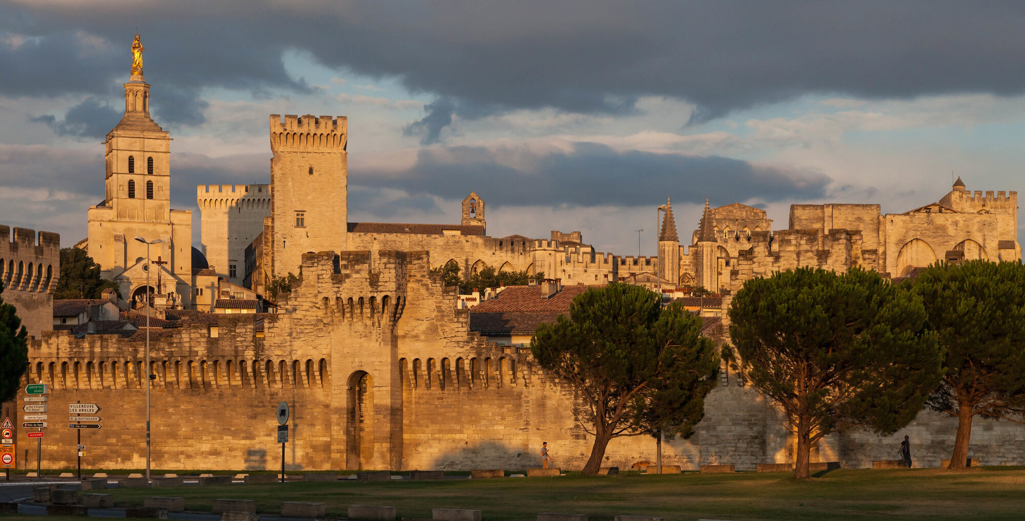
photo © David Brossard/Flickr (Avignon)