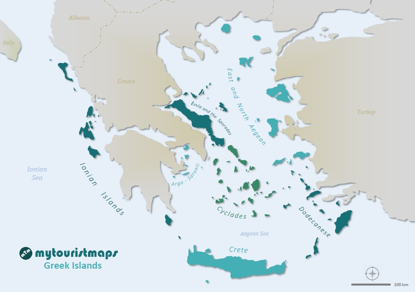
Interactive travel and tourist map of Greek Islands: click on icons and writings on the maps to open web links.
Greece is renowned for its picturesque islands, each with its unique attributes, activities, and sights such as lounging on white sandy beaches, swimming in crystal clear waters, exploring ancient ruins, immersing in local culture and cuisine. Greece is believed to have around 6,000 islands in total, including all islands and islets in the Mediterranean Sea that belong to Greece. With more than 200 inhabited islands, Greece offers an extensive range of options for beach-dwelling, from the Ionian Sea, the Aegean Sea, and the Mediterranean Sea, making it possible to explore them for years without becoming bored. Each island possesses its own unique personality, character, and charm.
Population: 600.000 (approx)
Area: 21.460 sq.km
Official Language: Greek
Currency: €uro
Drivers Lane: Right
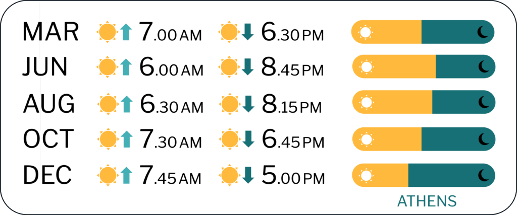
When to Go: from April to October


FURTHER LINKS
Greek Ferries
Discover Greek Islands’ best tourist attractions and top sights through our map! Which are the best places to visit in Greek Islands and the best things to do in Greece? Simply click on the map’s links to be quickly redirected to images and useful websites for accommodation, activities, transport and much more about Greece travel.
photo © ER Bauer/Flickr (Amorgos)

